
Blackfriars/Petersville
Blackfriars/Petersville is a Heritage Conservation District with a long tradition as a suburban landscape, historically an independent village, with a long history of individual identity within London. It has about 580 properties. Municipal Council adopted the district on 6 May 2014. It was designated under Part V of the Ontario Heritage Act on 15 May 2015.
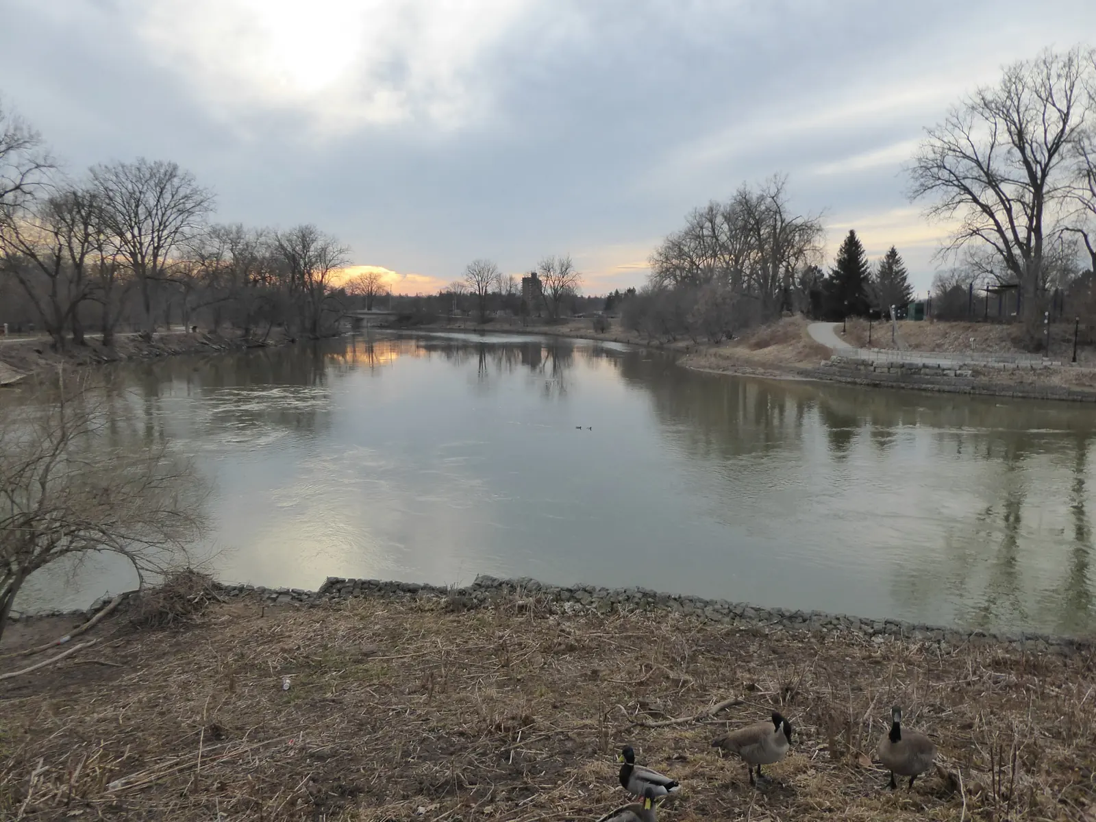
There is no Blackfriars photograph on this page. The frame is the forks of the Thames at Ivey Park, downtown. It is not Blackfriars. Check the lot against the district, using the notes on The London Realtor, rather than against the river in the picture.
.jpg)
The district the City drew
The City's district page bounds Blackfriars/Petersville by the Thames on the east and the south, and by the south side of Oxford Street West on the north. Wharncliffe Road North is the western boundary and includes properties on both sides of the road between Rogers Avenue and St. Patrick Street. The London Plan does not add a separate neighbourhood boundary.
Blackfriars Bridge, Kensington Bridge, and the West London Dyke are inside the district. Blackfriars Bridge was built in 1875, remains operational, and was restored in 2017. This district is not the Downtown district, though the Downtown district's westerly edge reaches Blackfriars Bridge. A lot on one side of that meeting point is not, by that fact, inside both districts.
The dyke is a district fact. It is not a flood reading. This page does not say a property is inside or outside a floodplain. Flood questions go to the Upper Thames River Conservation Authority's regulated-area maps. The map is approximate, and this page does not read it.
What to ask before you hire
Ask whether the lot is inside the Blackfriars/Petersville district or only near the name. Districts are marked by blue street signs with white text and a decorative top. The sign is not the Downtown district, and it is not a flood line. Confirm the lot on CityMap.
Ask which class of alteration needs a Heritage Alteration Permit under the Blackfriars/Petersville plan. The classes are not the same as the Downtown plan, and they are not copied here. A listed property that is not designated is a different case.
Ask whether the written agreement names who represents you. It has to be in writing before services. See RECO's page on signing a contract with a brokerage. Market figures are on the LSTAR statistics page. This site prints no sold price. The other notes are on the neighbourhoods page.
Questions
Is Blackfriars/Petersville part of the Downtown heritage district?
No. Blackfriars/Petersville is its own Heritage Conservation District. The Downtown district's westerly edge reaches Blackfriars Bridge, but the two districts are not the same map.
Does the West London Dyke mean the lot is in a floodplain?
This page does not say that. The West London Dyke is inside the district. Flood questions go to the Upper Thames River Conservation Authority map, which is approximate, and this page does not read it.