
Old East Village
Two different City tools use this name, and a third draws yet another line. The Old East Heritage Conservation District is the residential area of the former English Survey. The Old East Village Dundas Street Corridor Secondary Plan is a corridor plan. The City also lists an Old East Village Business Improvement Area. Those three are not one boundary.
The district was designated under Part V of the Ontario Heritage Act in 2006 and includes over 1,000 properties. Except for Dundas Street frontage, it developed as a residential area from about 1860 to 1930. The area was part of the former London Township until 1874, when London East was an incorporated municipality, until amalgamation with the City of London in 1885.
A hire that uses this name should start on The London Realtor page by saying which of the three maps the lot is on.
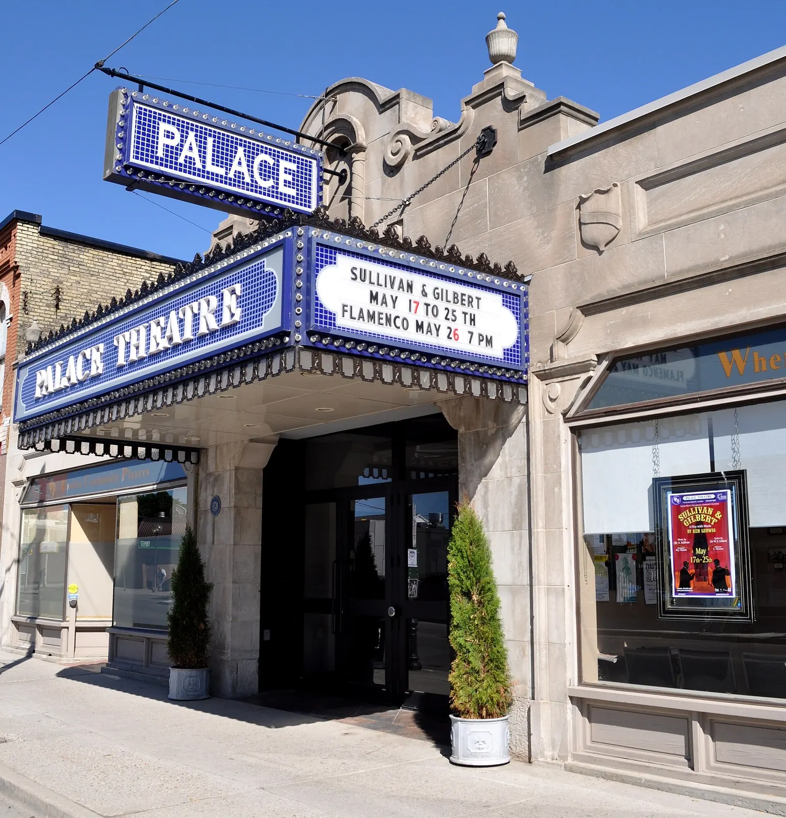

Three lines, none of them the neighbourhood by itself
The heritage page describes the district as generally bounded by the south side of Central Avenue / Elias Street on the north, the west side of Quebec Street on the east, properties on the south side of Queens Avenue on the south, and properties east of Adelaide Street excluding those fronting Adelaide Street. That is a general line for the residential district. It is not the business improvement area, and it is not the secondary plan.
The secondary plan applies to the general area along Dundas Street between Colborne Street and Burbrook Place, and King Street between Colborne Street and Ontario Street. The plan says it extends beyond what is traditionally considered Old East Village, to connect west to downtown and east toward the McCormick area. Do not treat that corridor as the heritage district.
Old East Village is a Main Street in the Rapid Transit and Urban Corridors group, not in the separate Main Street Place Type list. Policy 906 in the Place Type Policies is the split. A corridor status is not a heritage designation, and it is not the business improvement area. East Woodfield and West Woodfield are nearby. They are not inside this district.
What to ask before you hire
Ask whether the lot is inside the Old East Heritage Conservation District, inside the Dundas corridor secondary plan, inside the business improvement area, or only near the name. A district is marked by blue street signs with white text and a decorative top. The sign does not tell you which of the other two maps applies. Confirm the lot on CityMap.
A Heritage Alteration Permit follows the Old East district plan's classes, and only inside that district. The classes are not copied here. A permit question aimed at a Dundas frontage lot, or at a lot only in the secondary plan, is a different question. Do not borrow the district's classes for a lot the district does not cover.
Ask whether the written agreement names who represents you. It has to be in writing before services. See RECO's page on signing a contract with a brokerage. Market figures are on the LSTAR statistics page. This site prints no sold price. The other notes are on the neighbourhoods page.
Questions
Are the heritage district, the Dundas corridor plan, and the BIA the same map?
No. The Old East Heritage Conservation District, the Old East Village Dundas Street Corridor Secondary Plan, and the Old East Village Business Improvement Area are three different tools. They are not one boundary.
Is Old East Village in the separate Main Street Place Type list?
No. In The London Plan it sits with the Rapid Transit and Urban Corridors group, not in the separate Main Street Place Type list. That status is a corridor, not the heritage district and not the business improvement area.