
SoHo
The Old Victoria Hospital Lands Secondary Plan says the area south of Horton Street, more commonly known as SoHo, has a long history as a community in the City of London: a place of refuge on the Underground Railroad, then a site of one of the City's major medical facilities, sitting along the edges of downtown and the Thames. That is the plan's location sentence. It does not draw a hard neighbourhood boundary. The London Plan does not map one.
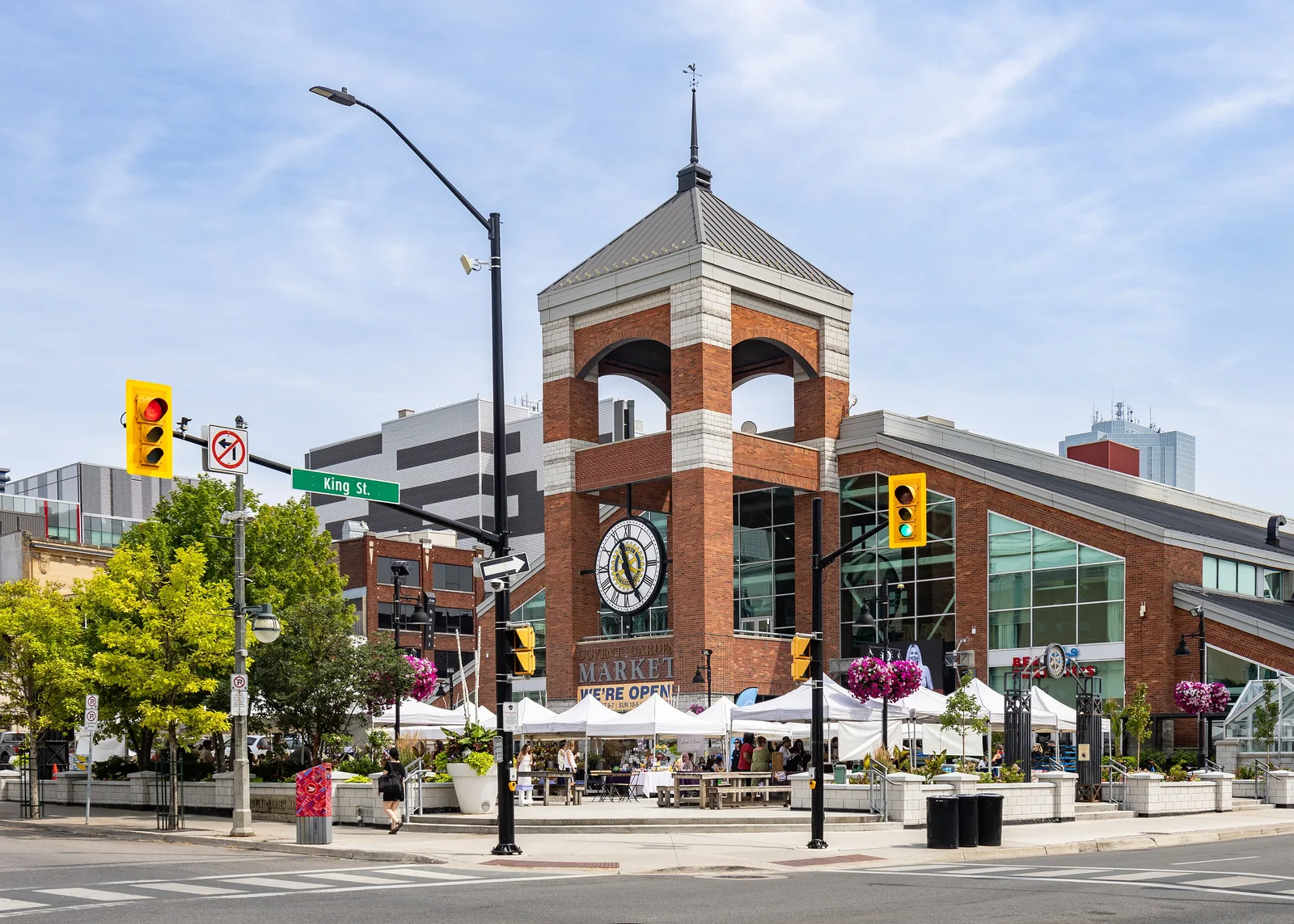
There is no SoHo street photograph on this page. The frame is Covent Garden Market, downtown. It is not a SoHo street. The hire, if the name is SoHo, still starts on The London Realtor, for the hire, with the file and the written agreement named before anyone treats the nickname as the lot.

The plan area is not the whole name
The secondary plan applies to the former hospital lands and surrounding lands, along the Thames Valley Corridor between Waterloo and Colborne Streets. The limits are Figure 1 of the plan. Do not treat that site as all of SoHo.
SoHo is also a Main Street in the Rapid Transit and Urban Corridors group. In the Place Type Policies, policy 906, that group is not the separate Main Street Place Type list. A corridor status is not the neighbourhood, and it is not the secondary-plan boundary.
London General Hospital was constructed in 1875 on lands the City purchased in 1866. It was renamed Victoria Hospital in the 1890s, and officially opened as the new Victoria Hospital in 1899. Roadmap SoHo, the community improvement plan, was adopted by Municipal Council on 20 June 2011.
The community vision adopted with that plan is a Council-adopted vision of a neighbourhood linked to downtown and the Thames. It is an aim. It is not a description of current conditions. Hire against the lot and the plan area, not against the vision sentence.
What to ask before you hire
Ask whether the lot is inside the Old Victoria Hospital Lands Secondary Plan, on the SoHo Main Street segment, or only near the name. The secondary plan prevails over The London Plan where they conflict, but only inside the secondary-plan area. Confirm the lot on CityMap and against the printed plan. The City says the printed official plan takes precedence over the website copies.
This page is not a heritage-district page. If CityMap shows a district, a Heritage Alteration Permit follows the classes in that district's plan. Do not borrow a permit class from a neighbouring district because the name SoHo was used in the request. The district index is the City's heritage districts page.
Ask whether the written agreement names who represents you. It has to be in writing before services. See RECO's page on signing a contract with a brokerage. Market figures are on the LSTAR statistics page. This site prints no sold price. The other notes are on the neighbourhoods page.
Questions
Is the Old Victoria Hospital Lands Secondary Plan the boundary of SoHo?
No. The plan applies to the former hospital lands and surrounding lands along the Thames Valley Corridor between Waterloo and Colborne Streets. That area is Figure 1 of the plan. It is not all of SoHo.
Is the community vision a description of SoHo today?
No. The vision adopted with the community improvement plan is a Council-adopted vision. It is not a description of the streets as they are today.