
Woodfield
The City uses Woodfield for a downtown neighbourhood recognized by area residents and by City Planning. It is not one Heritage Conservation District. It contains East Woodfield and West Woodfield, and parts of the neighbourhood sit outside both.
East Woodfield was designated in 1994. The City describes it as London's first Heritage Conservation District. It has about 170 properties, generally east of Maitland Street. West Woodfield was designated under Part V of the Ontario Heritage Act in 2008. It has about 500 properties, primarily residential, and also commercial, retail, office, churches, other institutional uses, and Victoria Park.
The first question is which map the lot is actually on. Settle that before you hire on The London Realtor.
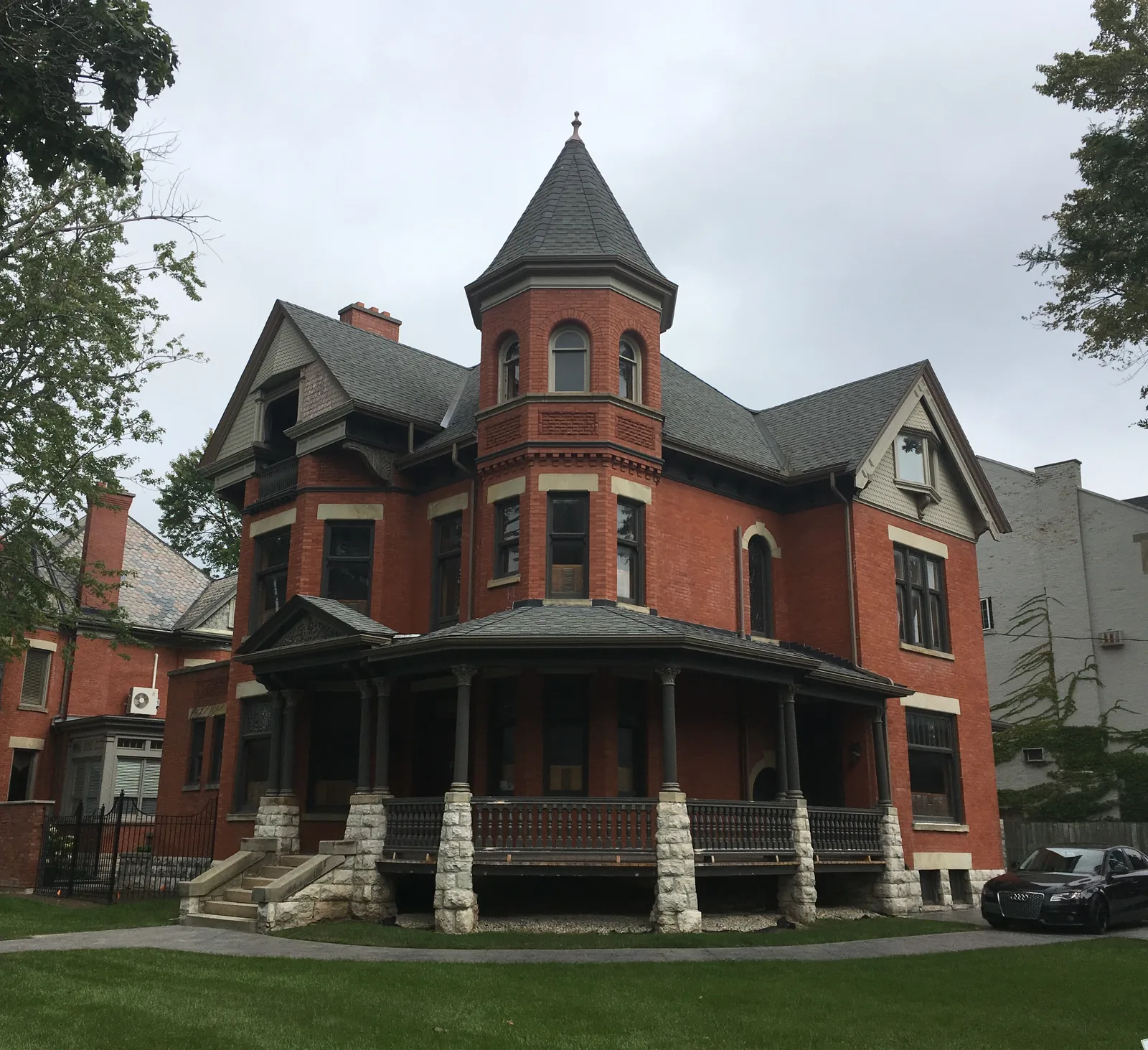

Two approximate perimeters
The published neighbourhood perimeters differ, and both should be read as approximate. Do not pick one south edge and drop the other.
The heritage districts page gives recognized perimeters of Richmond Street on the west, the CPR tracks on the north, Queens Avenue on the south, and Adelaide Street on the east. The 16 January 2026 Place Type Policies say the Woodfield Neighbourhood is approximately bounded by Richmond Street on the west, Dufferin Avenue and Queens Avenue on the south, Adelaide Street North on the east, and the CPR tracks on the north. The south edge is the point of disagreement: Queens Avenue on one page, Dufferin Avenue and Queens Avenue on the other.
Place Type Policies describe the neighbourhood as predominantly low-rise residential, with a mix of higher-density uses and office conversions. It is a policy of The London Plan to maintain those general characteristics. That is a description of the neighbourhood, not a finding that every house is inside a district.
A Heritage Alteration Permit follows the classes in the applicable district plan, and only if the lot is in that district. The Victoria Park Secondary Plan prevails where it conflicts with The London Plan, inside its own area. Confirm the lot on CityMap before anyone spends money on a change.
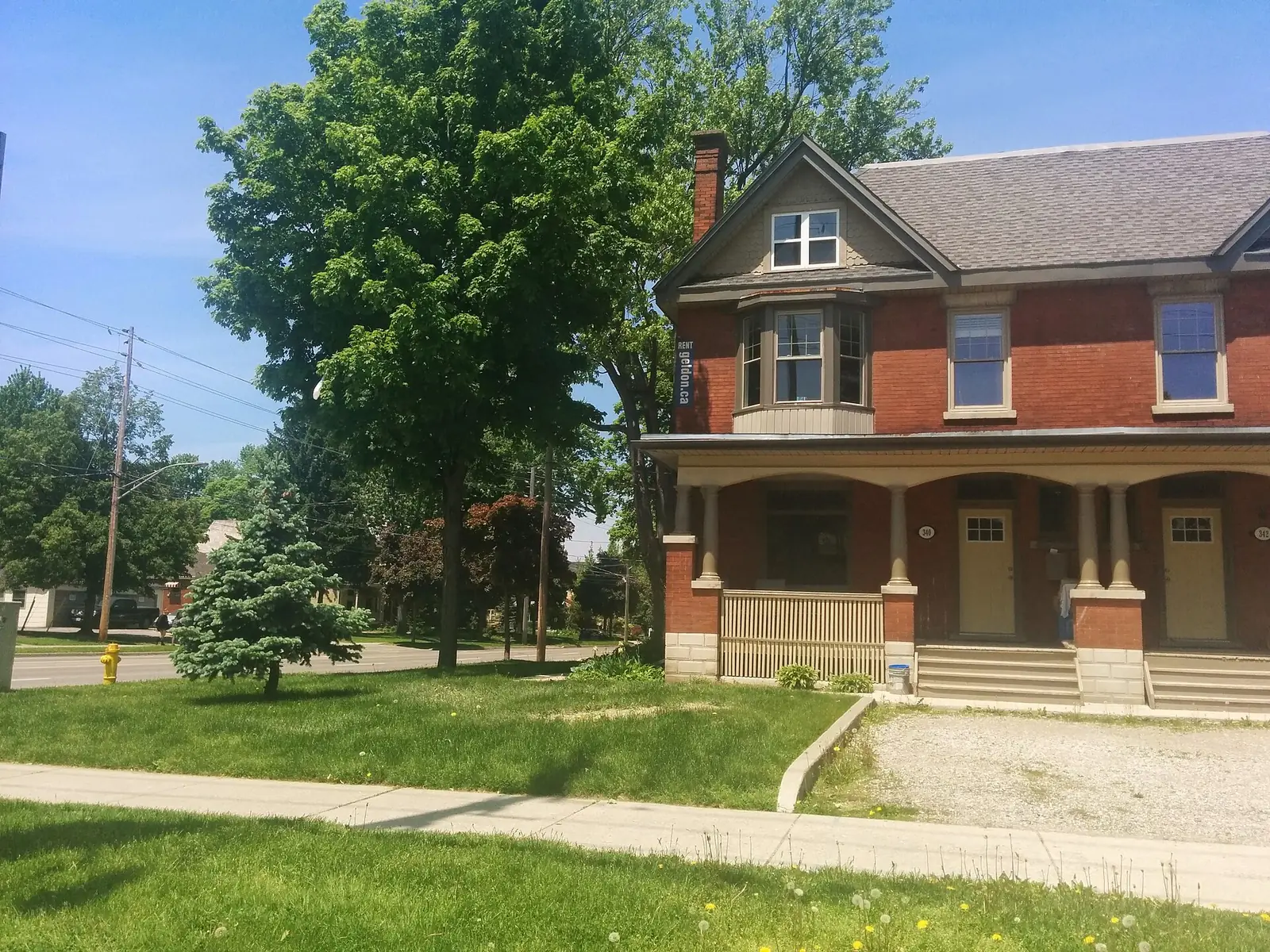

What to ask before you hire
Ask whether the lot is inside East Woodfield, inside West Woodfield, or only near the name. Districts are marked by blue street signs with white text and a decorative top. The sign is not a substitute for CityMap. The photograph of 496 Waterloo Street shows a municipal heritage house. That caption is not a finding that every Woodfield house is designated, and it does not place the duplex below inside a named district. The file page for the duplex does not name the street, so this page does not name it either.
Ask which class of alteration needs a Heritage Alteration Permit, and which plan's classes apply. The classes are not copied here. A listed property that is not designated is a different case. The district index is the City's heritage page, linked above.
Ask whether the written agreement names who represents you. It has to be in writing before services. See RECO's page on signing a contract with a brokerage. Market figures are on the LSTAR statistics page. This site prints no sold price. The other notes are on the neighbourhoods page.
Questions
Is Woodfield one heritage district?
No. Woodfield contains the East Woodfield district, designated in 1994, and the West Woodfield district, designated in 2008, and parts of the neighbourhood sit outside both. Do not assume a house is in a district because the name is Woodfield.
Which south edge is the Woodfield boundary?
Neither page is definitive. The heritage page uses Queens Avenue. Place Type Policies use Dufferin Avenue and Queens Avenue. Both perimeters are approximate, and the sources disagree on the south edge.